

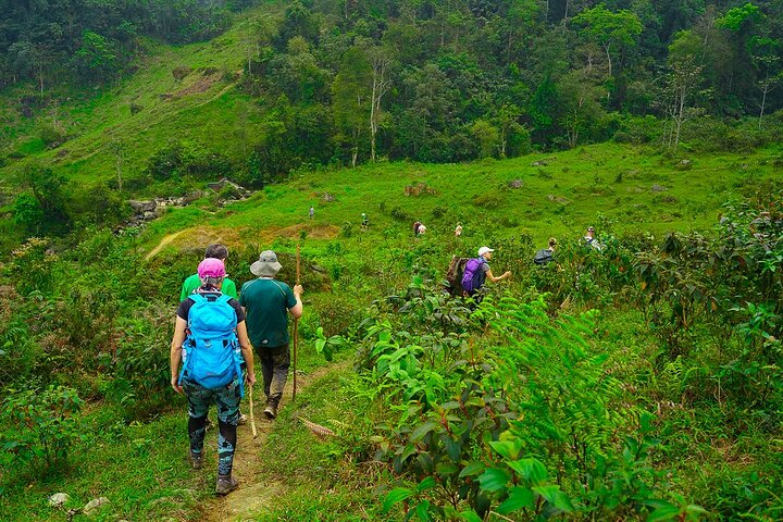
Trekking in Ha Giang: Routes and Tips
On the Ha Giang Loop, most people get to see the mountains from a motorbike seat – and yes, it’s stunning. But what if you stepped off the bike, laced up your boots, and actually walked into the highlands of northern Vietnam?
Ha Giang trekking is exactly that: a slower, deeper, and far more personal way to experience Vietnam’s most dramatic province. Whether you have two days or a week, there is a Ha Giang trek that fits your pace, fitness level, and appetite for adventure. Let’s jump in to explore and prepare your trekking trip in Ha Giang!
Key Takeaways
- Ha Giang’s best trekking season runs from October to April; October-November and March-April offer the most comfortable conditions.
- The Dong Van Karst Plateau, Ma Pi Leng Pass, Hoang Su Phi, and Du Gia Valley are the some popular trekking zones – each suited to a different experience level.
- Trails are not formally marked; local guides are essential for navigation, safety, and cultural access.
- Most treks range from 2 to 5 days, combining village-to-village walking with homestay accommodation in ethnic minority communities.
Best Trekking Trails in Ha Giang
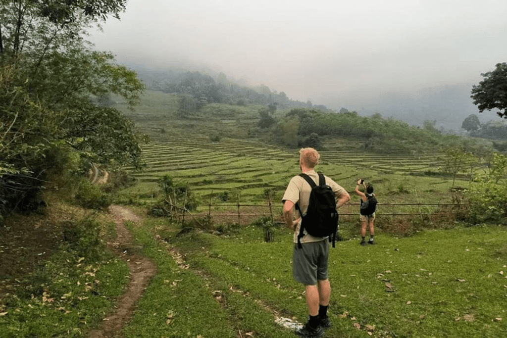
Ha Giang does not have a managed trail network with distance markers or park rangers. Instead, you’ll be walking on “living paths” – trails created over centuries by local farmers, families, and children. You can witness their daily lives: Hmong farmers driving cattle, Dao women carrying goods to market, and Lolo children walking between villages in this trek.
| Trail / Area | Difficulty | Duration | Distance | Best For | Highlight |
| Dong Van Karst Plateau | Moderate | 3-5 days | 25-35 km total | Culture + landscape | UNESCO Global Geopark; Hmong villages; Lung Cu Flag Tower |
| Ma Pi Leng Pass | Difficult | Half-day to 1 day | 8-20 km | Views + ridge walking | Sky Walk cliffside trail; Nho Que River gorge from above |
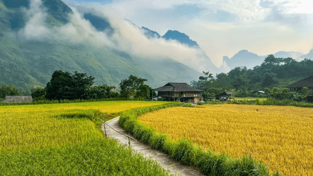
| Hoang Su Phi | Moderate | 2-3 days | 15-25 km | Rice terraces | Golden harvest season (Sept-Oct); Dao and Nung homestays |
| Du Gia Valley | Easy | 1-2 days | 5-12 km | First-time trekkers | Tay village base; river trail; low elevation gain |
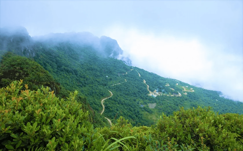
| Tay Con Linh Mountain | Difficult | 3-4 days | 20-30 km | Experienced hikers only | Highest peak in Ha Giang at 2,419 m |
Dong Van Karst Plateau – For Landscape and Culture
Overview: The centrepiece of Ha Giang trekking and a UNESCO Global Geopark. The rocky terrain is challenging but manageable for trekkers with moderate fitness.
Typical duration: 3 – 5 days
Key stops:
- Lung Cu Flag Tower – Vietnam’s northernmost point
- H’mong King Palace (Vuong Palace) in Dong Van Old Quarter
- Ma Pi Leng Pass approach from the Dong Van side
- The emerald green Nho Que River
Key experience: A sample 3-day route is Ha Giang City → Nam Dam (near Quan Ba) → Lao Xa → Dong Van → Meo Vac (approx. 25 – 35 km total). An extra day can be added to reach more remote highland areas at a slower pace.
Ma Pi Leng Pass – For Views and Ridge Walking
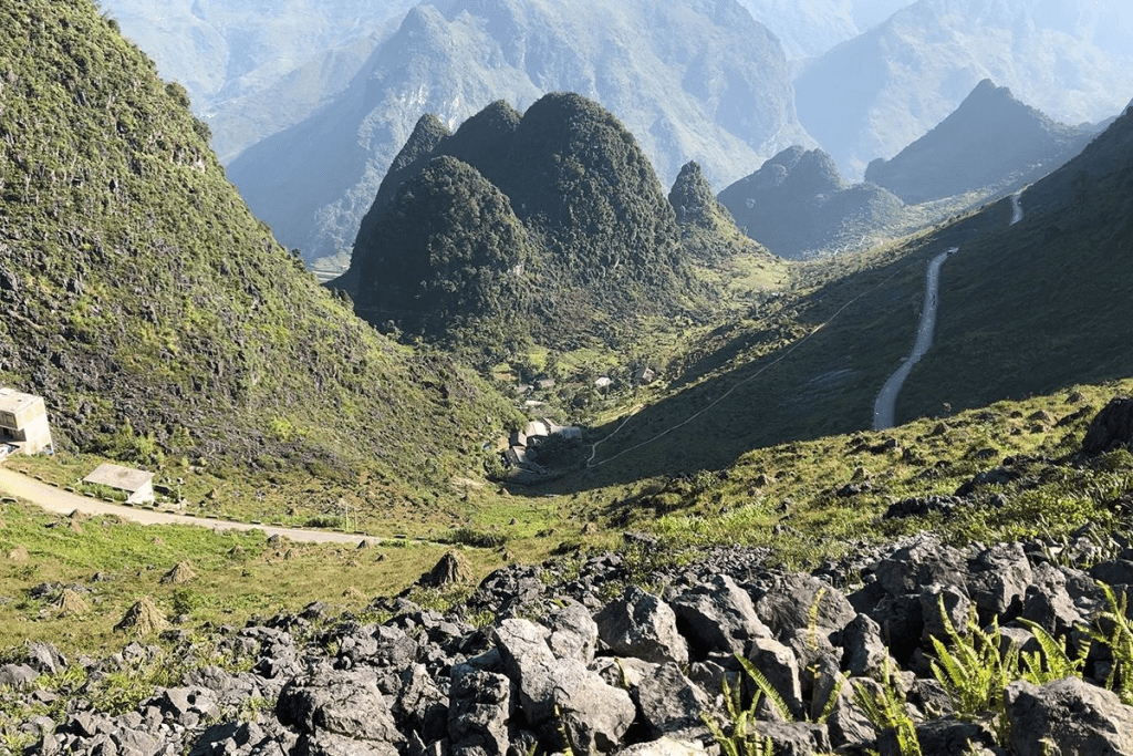
Overview: Ha Giang’s most iconic geography – a 20-km mountain pass with sheer cliffs dropping into the Nho Que River gorge below. Trekking it rather than riding it gives you access to paths that run above the road, with elevated views across
Typical duration: Half-day to 1 full day
Key stops:
- Ma Pi Leng Sky Walk – a cliffside trail hugging the pass above the gorge
- Main viewpoint overlooking the Nho Que River bend – the shot everyone comes for
- Off-road mule paths above the tarmac – best accessed with a local guide, as they are not signposted
Key experience: Tour operators sometimes offer to drive guests to the highest point and walk from there. If fitness allows, starting from the pass itself gives you views that the upper section alone misses.
Hoang Su Phi – For Rice Terraces
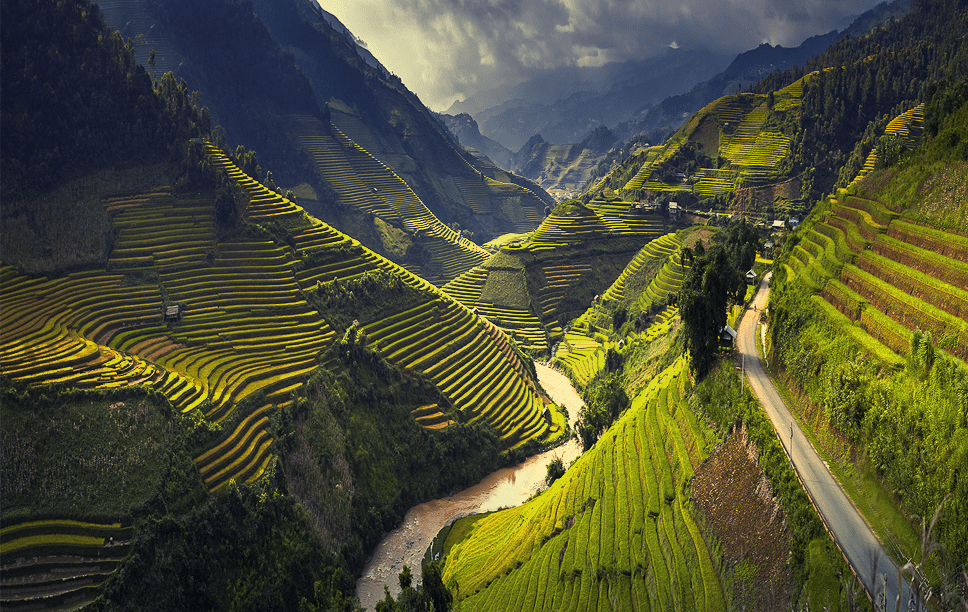
Overview: Located on Ha Giang’s western border, Hoang Su Phi is the go-to destination for rice terrace trekking. Less visited than the Dong Van circuit, making it a stronger choice for travellers looking for quieter, closer to daily lives of local people.
Typical duration: 2 – 3 days
Key stops:
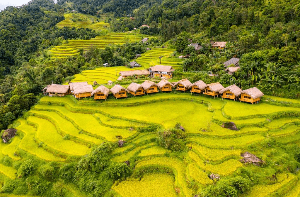
- Stilt-house homestays with Dao and Nung families
- La Chi and Nung village paths connecting farming communities
- Local weekly markets – schedule varies by village, worth checking in advance
Key experience: Hoang Su Phi is defined by layered agricultural terrain. Hence, the trekking is less about dramatic passes and more about walking through a working highland farming landscape.
Du Gia Valley – For First-Time Trekkers
Overview: The most accessible trekking area in Ha Giang. Du Gia sits alongside the Nho Que River, where the landscape opens into a greener, lower-altitude valley – good scenery without serious elevation gain. This is suitable for trekkers with limited hiking experience
Typical duration: 1 – 2 days
Key stops:
- Tay ethnic community guesthouses – the standard overnight base in the area
- River trail south toward the Nho Que Gorge – well-worn and straightforward
- Waterfall swimming spots accessible from the village on shorter half-day walks
Key experience: Du Gia works particularly well as an add-on to a Ha Giang Loop motorbike itinerary – park the bike, do a 1 – 2 day walk, and continue the loop from here.
Tay Con Linh Mountain – For Experienced Hikers
Overview: Ha Giang’s highest peak at 2,419 metres. This is a serious mountain trek and is not suitable for casual day hikers or those without prior multi-day mountain experience, especially when there are significant elevation, technical sections and huge temperature drop at night.
Typical duration: 3 – 4 days
Key stops:
- Summit at 2,419 m – panoramic views across the highlands on clear days
- Cloud forest sections on the upper approach – rare flora and atmosphere unlike anywhere else in Ha Giang
Key experience: Best attempted with an experienced local guide and proper cold-weather gear. The summit is often cloud-covered; plan for at least one extra day in case of poor summit weather.
What to Prepare for Trekking
The terrain in Ha Giang can shift from concrete village paths to steep, muddy mountain trails within the same day. Here is a quick overview of what to sort before you go:
| Category | What You Need | Why It Matters |
| Footwear | Waterproof, ankle-supporting trekking boots | Trail runners fail on steep, muddy sections |
| Clothing | Moisture-wicking base layer + warm mid-layer + waterproof shell | Temperatures drop sharply at altitude after sunset |
| Daypack | 20–30L with a dry bag inside | Protects electronics on wet trail days |
| Water | Minimum 2 litres per day | No reliable water sources or shops along most trails |
| Cash (VND) | Sufficient for the full trip, withdrawn in Ha Giang City | Remote villages have no ATMs and don’t accept cards |
| Permit | – Preparation: Documentation, permit fee (about $10).- How to get: in person at the Ha Giang Provincial Immigration Office, local police stations or through guesthouses, homestays, tour agencies, etc. | Required for all major trekking areas north of Tam Son |
Local Guides and Tour Options
Why should you need a local guide?
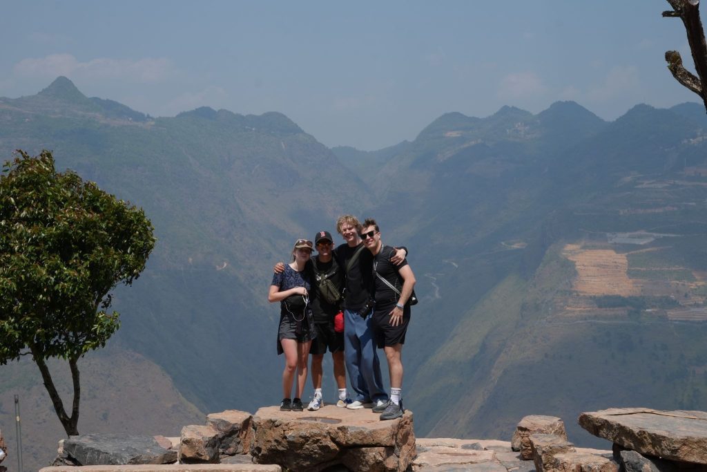
Ha Giang’s trails are not recreational. Instead, they are working paths through active farming land. There are no trail signs, no distance markers, and in many sections, no single “correct” route.
A credible local guide should provide:
- Navigation through terrain that is genuinely confusing without local knowledge.
- Access to homestay accommodation and village-cooked meals that independent travellers cannot arrange on the road.
- Cultural interpretation – introductions to village elders, context for what you are seeing, and the kind of conversation that makes a trek into a genuine encounter rather than a walk through a backdrop.
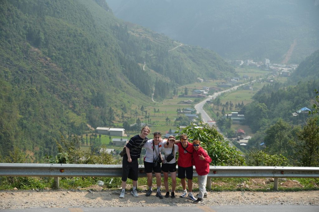
What are the trekking tour options in Ha Giang?
| Tour Type | Duration | Key highlights | Best For | What’s Included |
| Day trek with a local guide | 1 day | Most flexible | Travellers wanting a trail taste without overnight commitment | Guide, route navigation, village access |
| Village-to-village multi-day trek | 2–5 days | Most immersive | Travellers wanting to experience a slow-paced trekking with real local life experience | Guide, homestay accommodation, village-cooked meals |
| Trekking combined with Ha Giang Loop tour | 3–6 days | Most time-saving | First-time visitors wanting both breadth and depth | Guide, motorbike or Easy Rider, trekking sections built into the loop |
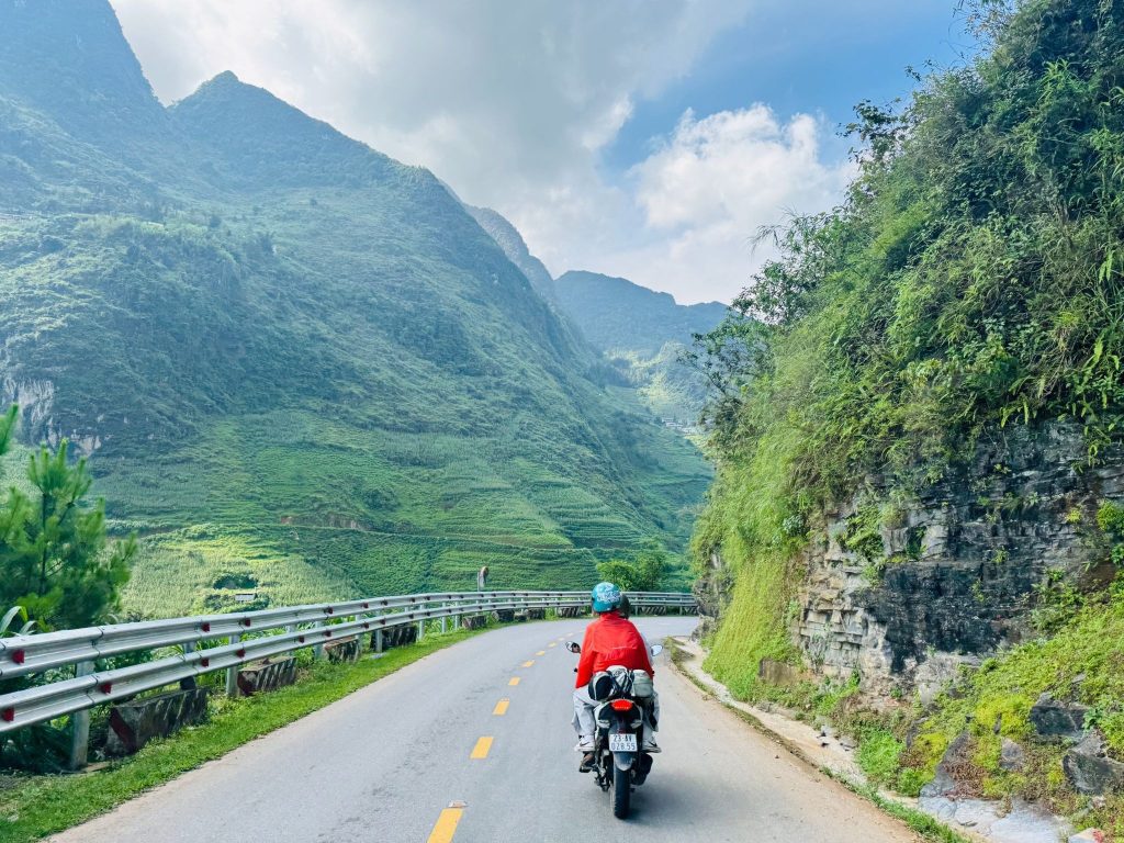
For travelers drawn to the breathtaking landscapes of Northern Vietnam, the Ha Giang Loop is an experience not to be missed. Since gaining popularity in recent years, this iconic motorbike journey has become one of Vietnam’s most unforgettable adventures – taking riders through dramatic mountain passes, winding roads, and authentic local villages.
If you’re dreaming of exploring Ha Giang but don’t know where to begin, Serenity Ha Giang makes the journey easy. We offer a range of carefully crafted Ha Giang Loop tours, so all you need to do is pack your bags and enjoy the ride. Skip the stress of planning and immerse yourself in the stunning scenery, rich culture, and unforgettable experiences that make Ha Giang so special. Book your adventure today!
Safety and Weather Considerations
What are some tips for a safe trekking trail?
- Tell someone your itinerary: Provide your start point, end point, and expected completion time to your guesthouse or tour operator before departing.
- Do not trek alone in remote areas: Beyond the navigation challenge, mobile signal is unreliable across most of the highland trail areas.
- Carry a basic first aid kit: The nearest hospitals with adequate facilities are in Ha Giang City; getting there from remote trail areas takes hours.
- Know your limits: Altitude, heat, and accumulated daily distances add up faster than expected. Guides are experienced at reading pace and should be listened to.
- Purchase travel insurance: Choose the one explicitly covers trekking activities and medical evacuation before you depart.
When is the best time to trek on Ha Giang?
The dry season – October through April – is the recommended trekking window. The most comfortable months for hiking are:
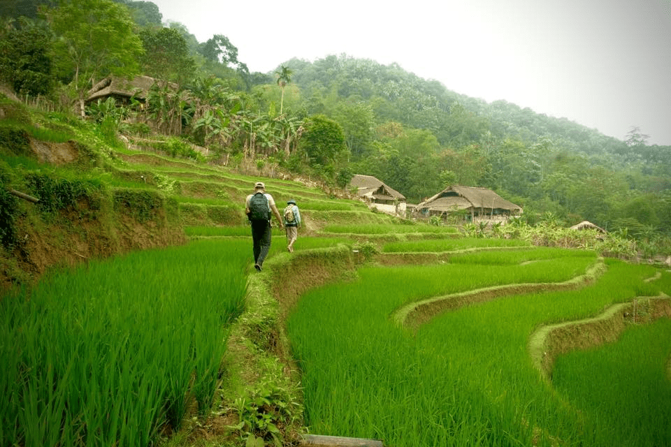
- October-November: Harvest season, golden rice terraces, mild temperatures, lower tourist numbers than spring.
- March-April: Blooming wildflowers, longer daylight hours, busiest months overall.
- December-February: Driest conditions, but temperatures drop sharply in the mountains – particularly above 1,500 metres – and nights can be very cold. Pack warm layers.
| >>> Read more: Best Time to visit Ha Giang Loop: Weather & Season |
The bottom line
Ha Giang trekking is not the easiest or most comfortable way to see northern Vietnam. It will ask something of you – fitness, patience, and a willingness to follow unmarked paths through a landscape that does not perform for cameras. What it gives back is proportional to that effort: a Ha Giang that most visitors never reach.
If you are ready to walk it, the trails are there. The villages are there. And the people who live in them are genuinely glad to have visitors who arrive slowly, on foot, and with some curiosity.
Want to skip the planning part? Serenity Ha Giang has already built for you the most optimal Ha Giang Loop itineraries that fit your timeline, fitness level, and the kind of experience you are after. Find the most suitable tour in Serenity Ha Giang and start your trip to Ha Giang today!
Note: Since July 2025, Ha Giang has been merged into one province with Tuyen Quang and has become a part of it.