
Must-See Places
Dong Van Karst Plateau: What the UNESCO Geopark Covers and How to Visit
 Tristan Do
Co-founder & Marketing


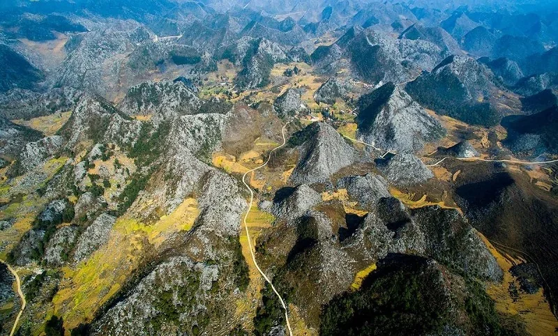
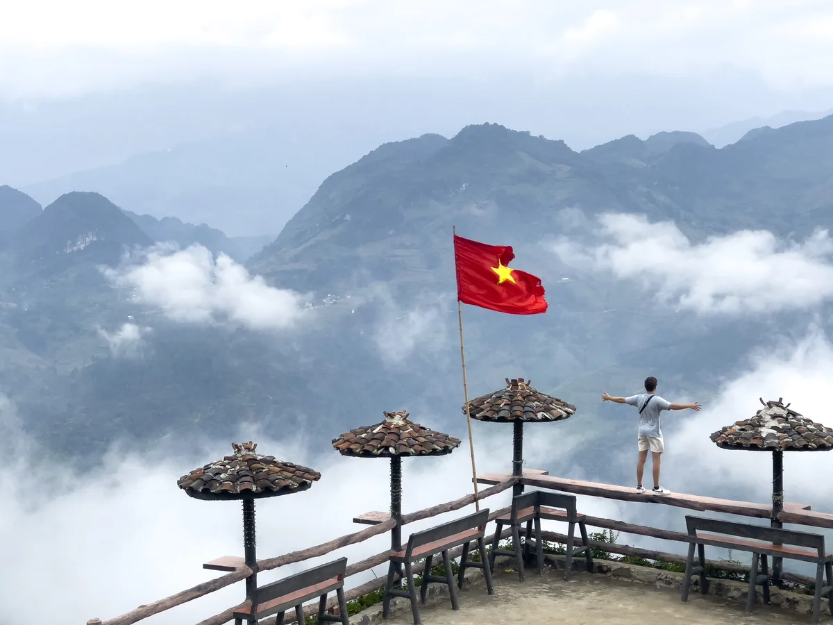
The Dong Van Karst Plateau is a limestone highland of about 2,356 km² in northern Vietnam, on the Chinese border, and UNESCO has recognised it as a Global Geopark since 2010. The Ha Giang Loop crosses the plateau, but the geopark is a protected area, not a road or a single stop. It covers four districts (Quan Ba, Yen Minh, Dong Van and Meo Vac) in the former Ha Giang Province, which merged into Tuyen Quang Province in 2025.
If you are planning to visit Dong Van Karst Plateau, this guide is made for you! In today’s article, let’s Serenity Ha Giang explain what the Dong Van Geopark is, why UNESCO recognised it, which places make up this karst plateau in Vietnam, and what to know about fees, permits, and seasons before you go.
AI Summary: The Dong Van Karst Plateau is a UNESCO Global Geopark of about 2,356 km² in the far north of Vietnam, in the former Ha Giang Province, which merged into Tuyen Quang Province in 2025. It lies at 1,000-1,600 m across the districts of Quan Ba, Yen Minh, Dong Van and Meo Vac, and 17 ethnic groups live there. UNESCO recognised it in 2010 for its geology, fossils and living cultures.
Key Takeaways
- Entry and fees: The geopark has no single entrance gate. Adults who stay overnight in the four districts pay a conservation fee of VND 30,000 (about US$1.10-1.30) per night, and Lung Cu Flag Tower, Vuong Family Palace and Lung Khuy Cave charge their own tickets, roughly VND 20,000-50,000 each.
- Permit: Foreign visitors need a border-area permit for the plateau’s border districts, and checks tightened in 2026.
- Time needed: Guided 2-day trips from Ha Giang City reach Dong Van and Lung Cu. The full Ha Giang Loop usually takes 3 to 5 days.
- Best window: October to April is the dry season, and buckwheat flowers typically bloom from late October into November.
Where is the Dong Van Karst Plateau in Vietnam?
| Category | Key Takeaways |
| Location | Far north of Vietnam, on the border with China, more than 300 km from Hanoi by road. |
| Size and altitude | 2,356 km² at 1,000-1,600 m |
| Districts | Quan Ba, Yen Minh, Dong Van and Meo Vac, in that order on the road north from Ha Giang City |
| Province | Former Ha Giang Province, which merged into Tuyen Quang Province in 2025 |
| Name check | “Dong Van” means either the main town or the whole geopark. This guide uses “the Dong Van Karst Plateau” for the geopark and “Dong Van town” for the town |
| Loop vs geopark | The Ha Giang Loop is a road circuit. The geopark is a protected area with its own management board |
| Road | The Loop’s northern section follows National Highway 4C, the “Happiness Road” built from 1959 to 1965 |
Ha Giang Province merged with Tuyen Quang Province under a 2025 National Assembly resolution, and the merged province kept the name Tuyen Quang. UNESCO’s page still places the geopark in Ha Giang, and most guides still call the region Ha Giang, so searches for either name lead to the same plateau.
Why does UNESCO recognise the Dong Van Karst Plateau in Ha Giang?
A UNESCO Global Geopark is a single area where sites of international geological significance are managed for protection, education and sustainable development. It is a different UNESCO label from a World Heritage site. Dong Van joined the Global Geoparks Network on 3 October 2010, becoming Vietnam’s first geopark and the second in Southeast Asia.
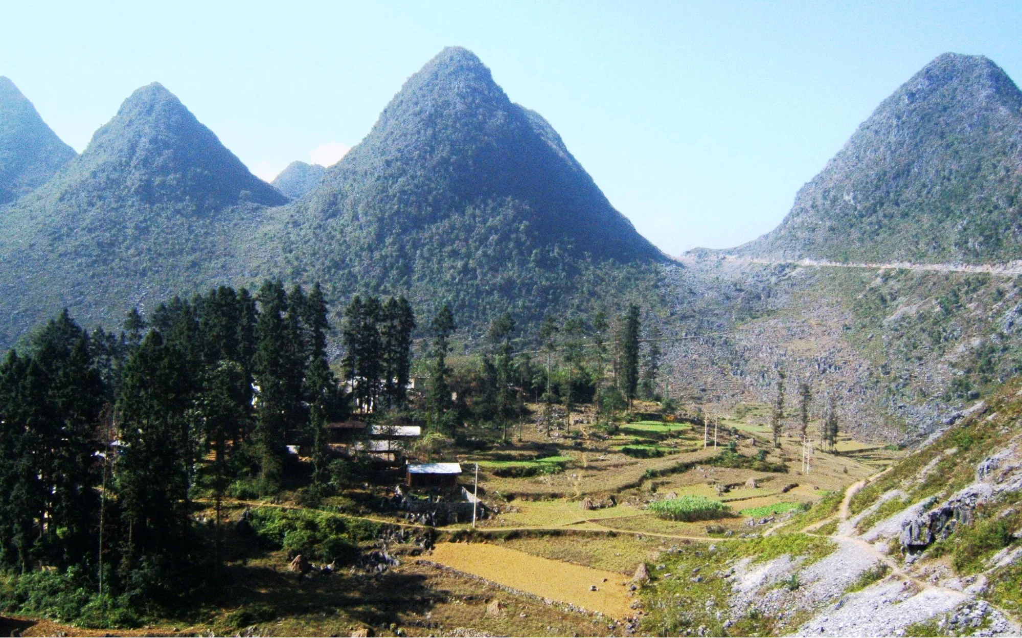
UNESCO’s geopark page points to four strengths:
- Rock record: Geoheritage sites span the Cambrian, about 550 million years ago, to the present in seven stages, and include two mass-extinction boundaries (Frasnian-Famennian and Permian-Triassic).
- Fossils: The plateau holds 19 groups of ancient organisms, including trilobites, brachiopods, and corals.
- Landforms: About 60% of the surface is limestone. The highest peak is Mieu Vac Mountain at 1,971 m, and Tu San Canyon, at 700-800 m deep, is the deepest canyon.
- People: The 17 ethnic groups include the Hmong, Tay, Dao, Nung, Pu Peo, and Lo Lo.
UNESCO re-recognised the geopark for the 3rd time in 2014, 2019 and 2023, and each recognition covers four years.
Which places make up the Dong Van Karst Plateau?
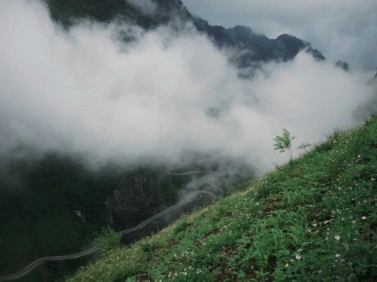
Once you are on the road, you will notice the plateau is really six clusters of stops strung along one long route. It’s worth knowing each place’s signature and planning your days around them for a full experience of the Dong Van Karst Plateau:
| Area | What to see | Why it matters |
| Quan Ba | Heaven Gate viewpoint and the Quan Ba Twin Mountains | First wide view of the karst on the road north from Ha Giang City |
| Yen Minh to Dong Van | Yen Minh town and Sung La Valley | Farmland laid out between limestone ridges |
| Sa Phin | Vuong Family Palace (the Hmong king’s mansion), about 14 km from Dong Van town | Shows how a powerful Hmong family lived on the plateau |
| Dong Van town | Old Quarter and the Sunday market | Weekly gathering for people from villages across the plateau |
| Lung Cu | Lung Cu Flag Tower, about 27 km north of Dong Van town | The plateau’s northern edge, at the Chinese border |
| Dong Van to Meo Vac | Ma Pi Leng Pass, Nho Que River and Tu San Canyon | The pass was listed as a national monument in 2009 and looks down on the river gorge |
How do you visit the Dong Van Karst Plateau?
Now you have an overview picture of the location, but here we come with a really big question: What should I do if I want to visit Dong Van Karst Plateau?
Technically, there are two main steps:
Step 1: Get from Hanoi to Ha Giang City
- Sleeper Bus: Take an overnight or daytime bus from Hanoi (e.g., My Dinh Station) to Ha Giang City. The trip takes about 6.5 to 8 hours and costs around 250,000 to 500,000 VND ($9.5-$20).
- Private Car or Taxi: A flexible option for groups or families, taking around 8.5 hours.
- Motorbike: An adventurous ride directly from Hanoi, taking roughly 8.5 hours. (Not recommended)
We suggest you read this in-depth guide about How to travel to Ha Giang so that you can choose the most suitable method.
Step 2: Explore the Plateau (The Ha Giang Loop)
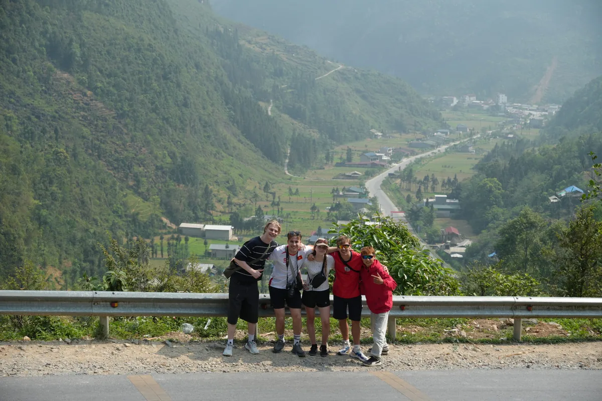
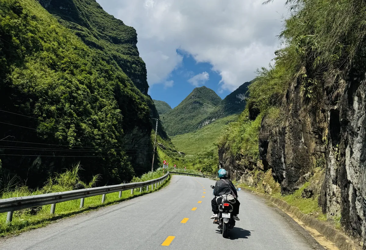
Once you reach Ha Giang City, you can rent a motorbike, hire an easy rider (local driver), or join a guided tour to cover the roughly 150 km stretch along National Highway 4C through the plateau districts: Quan Ba, Yen Minh, Dong Van, and Meo Vac.
How many days do you need for Dong Van Karst Plateau?
Hanoi to Ha Giang City is the long first leg. From there, guided 2-day trips reach Dong Van and Lung Cu, and 3 to 5 days is the usual range for the full Ha Giang Loop, which adds Meo Vac and Ma Pi Leng Pass. The Ha Giang Loop itinerary shows how those days are usually split.
How the Geopark Overnight Fee is Collected:
30,000 VND ($1.20 USD) conservation fee is automatically itemized onto your hotel or homestay invoice each night across Quan Ba, Yen Minh, Dong Van, and Meo Vac. If you stay 3 nights across the loop, you will pay roughly 90,000 VND in total conservation fees. Homestay owners remit these funds directly to the Geopark Management Board for heritage preservation, environmental cleanup, and local infrastructure maintenance.
Most viewpoints, including Ma Pi Leng Pass, cost nothing. Lung Cu Flag Tower, Vuong Family Palace and Lung Khuy Cave charge separate tickets, roughly VND 20,000-50,000 each (about US$0.80-2.20). Carry small cash for the gates.
Do foreign visitors need a permit?
Foreign visitors need a border-area permit to enter the plateau’s border districts (Quan Ba, Yen Minh, Dong Van and Meo Vac). Enforcement tightened in 2026, and checkpoints in Dong Van and Meo Vac commonly ask for it. Arrange it in Ha Giang City before you ride north. The Ha Giang permits guide covers the steps.
When is the best time to visit the Dong Van Karst Plateau?
Dong Van town sits at about 1,000 m, and the passes climb higher, so pack for the pass rather than the town. Below is a suggestion for the best timeframe to visit the Ha Giang Loop and the UNESCO-recognized Dong Van Karst Plateau:
| Season | What to expect | Suits |
| Late October to November | Dry and cool, with buckwheat in bloom; the bloom shifts by 2 to 3 weeks each year | Photographers and first-timers |
| December to February | Coldest months, with fog and frost on the high passes | Travellers who pack warm layers and accept fog |
| March to April | Mild and dry; homestays book up faster | Travellers who want clear views and warmer afternoons |
| May to September | Rainy season, with wetter roads and cloud over the passes | Flexible travellers who can change plans daily |
Which way of visiting the Dong Van Karst Plateau suits you?
- Choose a guided trip (easy rider, jeep or private car) if you do not hold the licence a self-ride needs, if mountain switchbacks make you nervous, or if you want someone else to handle routes and checkpoints. See Ha Giang Loop safety for how fog, rain, and road risk are handled on guided rides.
- Choose to ride yourself if you already handle switchbacks confidently, hold the right licence and permit, and want to stop at viewpoints on your own timing.
- Choose a short 2-day visit if time is tight, and stay in Quan Ba, Dong Van town, and Lung Cu.
- Choose 3 days or more if you also want Ma Pi Leng Pass and Meo Vac.
Whatever option you choose, you can all go with Serenity Ha Giang. With more than 8 years of experience operating northern Vietnam tours, we know exactly what you need to have the most fulfilling experience not just with Dong Van Karst Plateau, but the whole trip. Explore our tour options:

POPULAR TOUR
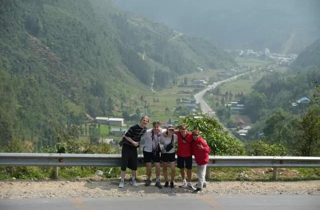
Ha Giang Hidden Trail 3D2N
Ride the famous passes, then turn off to quiet H'mong villages like Sao Ha, with a Nho Que boat ride and local riders the whole way.
POPULAR TOUR
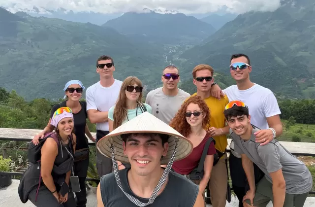
Ha Giang Heritage Path 4D3N
A slower, deeper ride through Ha Giang, pairing Ma Pi Leng and Lung Cu with the streams, caves and craft villages most tours skip.
In-depth Tour
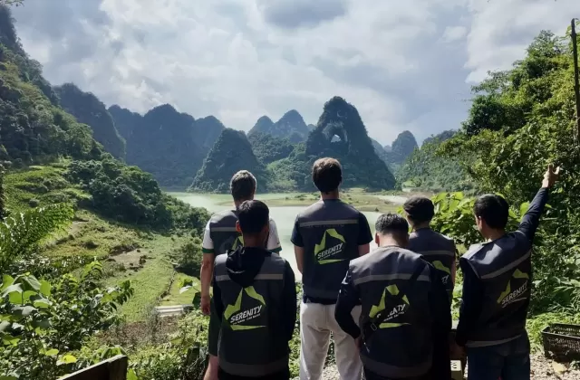
Ha Giang – Cao Bang Legend Journey 5D4N
The full sweep of the northeast in one ride, from the passes of Ha Giang to the waterfalls and hidden valleys of Cao Bang.
POPULAR TOUR
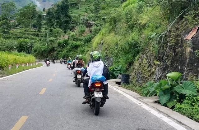
Ha Giang Majestic Ride 2D1N
The short ride for travelers on limited time, taking in Quan Ba, Tham Ma Pass and Ma Pi Leng with a night in Dong Van, and never once feeling rushed.
POPULAR TOUR
Ha Giang Harvest Season 2D1N
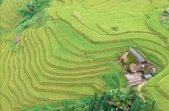
A gentle two days in golden-rice season, from Bac Sum Pass and Quan Ba to the weavers of Lung Tam and the quiet Red Dao village of Xa Phin.

POPULAR TOUR
Hoang Su Phi Golden Rice Season 3D2N
The gold-terrace season in the west of Ha Giang, away from the stone plateau, with grasslands, waterfalls and quiet villages most travelers never reach.
POPULAR TOUR
Hoang Su Phi Golden Rice Season 4D3N
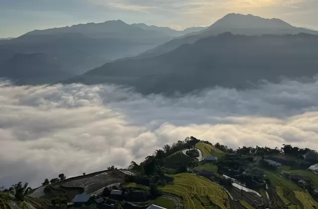
Ride the west of Ha Giang when the rice runs from green to gold, sleeping in private homestays and watching the light move across terrace after terrace.
01 / 07
The bottom line
Here we go, going through all you need to know about the 2,356 km² UNESCO Global Geopark – The Dong Van Karst Plateau. It is not a single stop. Instead, it contains four districts, with a rock record that runs from the Cambrian to today, and 17 ethnic groups. Budget for the overnight conservation fee, arrange the border-area permit if you are a foreign visitor, and aim for the dry season from October.
Are you now ready for a trip to the Dong Van Karst Plateau? If you would rather leave the riding to someone else, Serenity Ha Giang’s Ha Giang Loop tour is its guided route through the plateau, with groups capped at 10, making sure the whole route is no rush, no stress. Leaving all the logistics and accommodation duties behind for us, all you need is to pack it up and embrace the majestic beauty of Dong Van Karst Plateau with your heart!
FAQ
Do children and older travellers pay the geopark overnight fee?
Children under 6, people over 70, and people with disabilities are exempt. Children aged 6 to 15 pay half the adult rate, which is VND 15,000 (~$0.5) per night. Ask your host which category applies when you check in.
How early should I get to Dong Van Market, and can I visit Meo Vac market the same day?
Dong Van Market officially opens around 5 am and runs until about 12 pm, but the busiest hours are roughly 6 to 10 am, and many sellers pack up after 10. Sleep in Dong Van town on Saturday night so you can walk over at first light. Meo Vac’s market also runs on Sundays and sits about 20 km away over Ma Pi Leng Pass, so doing both on one morning only works with an early start and few photo stops.
Is the Dong Van Karst Plateau the same as Cao Bang’s Non Nuoc Geopark?
No. Non Nuoc Cao Bang Geopark is a separate UNESCO Global Geopark in Cao Bang Province, first recognised on 12 April 2018 and covering more than 3,683 km² across 36 communes and wards. It passed its second revalidation in 2026 with UNESCO’s top “Green Card” rating. Fees and entry rules are set locally, so check each geopark separately when you combine them on one route.
Can tourists see the endangered Tonkin snub-nosed monkeys in Dong Van Geopark?
In practice, no. While around 200 critically endangered Tonkin snub-nosed monkeys (Rhinopithecus avunculus) survive within the wider geopark ecosystem, they inhabit the strictly protected, off-limits Khau Ca Forest Reserve (near Vi Xuyen and Bac Me). They do not live along the roadside cliffs of National Highway 4C, and casual tourists riding the loop cannot view them.
Does the Ha Giang border permit also cover Cao Bang, and do I need a permit for both?
No, the permits do not cross over, but you do NOT need a permit for Cao Bang’s main sights. The 250,000 VND Border Area Entry Permit is strictly a provincial requirement for the 4 border districts of the Dong Van Karst Plateau (Ha Giang). In Cao Bang, major attractions like Ban Gioc Waterfall, Nguom Ngao Cave, and Pac Bo require only standard site admission tickets – no special border entry permit is required for foreign travelers staying on mainstream routes.
Is there a physical entrance gate or ticket booth to enter the Dong Van Karst Plateau?
No. Because the geopark encompasses four entire administrative districts and thousands of square kilometers, there is no centralized entrance gate, boom barrier, or single ticket booth. You simply drive onto National Highway 4C past Quan Ba Heaven Gate. You only pay individual admission tickets at specific designated monuments (such as Lung Cu Flag Tower, Vuong Palace, and Lung Khuy Cave) and the 30,000 VND/night conservation fee billed through your accommodation.